Top 10 Scenic Cycling Routes in and Around Manchester
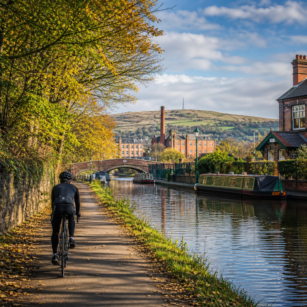
Manchester is unusually well placed for scenic cycling. Within a short ride of the city centre, you can reach canals, reservoirs, country parks, riverside paths and the first hills of the Peak District. The best route depends on more than scenery: distance, surface, traffic, gradients and navigation all shape the experience.
How to Choose a Scenic Manchester Cycling Route
Choose a scenic Manchester cycling route by matching distance, terrain, surface and traffic to your bike and confidence level. A flat canal ride may suit a beginner, while a Peak District loop demands climbing fitness, reliable navigation and weather planning.
Use this quick filter before setting off:
- Distance: allow extra time for stops, crossings and slower towpath sections. A 15-mile ride can feel very different from 15 miles on open road.
- Terrain: canals and river valleys are generally flat; routes east and south of Manchester become hillier quickly.
- Surface: hybrids, gravel bikes and mountain bikes handle towpaths and compacted trails better than narrow-tyred road bikes.
- Traffic: traffic-free paths still include road crossings, shared-use areas and busy access points.
- Navigation: canal routes are easy to follow but can involve confusing bridges and diversions. Countryside rides need an offline map.
For route standards, access updates and National Cycle Network information, check Sustrans before departure. Distances below are approximate and vary according to your start point and chosen detours.
1–3: Canal and Waterside Cycling Routes
Manchester’s canal towpaths offer some of the easiest scenic rides, with gentle gradients, industrial heritage and water views close to public transport. Expect variable surfaces, pedestrians and occasional narrow sections rather than uninterrupted, high-speed cycling.
1. Bridgewater Canal: Manchester to Dunham Massey
Approximate length: 22–30 miles return from central Manchester. Difficulty: easy to moderate. Follow the Bridgewater Canal west through Stretford, Sale and Altrincham, extending towards Dunham Massey and the rural lanes near Lymm.
The route combines canal boats, wooded banks, old mills and open Cheshire countryside. Towpath surfaces vary from smooth sections to loose gravel and muddy patches after rain. It is best for a hybrid, gravel bike or sturdy touring bike, although some riders may prefer a road-based alternative around rougher areas.
Traffic is low on the towpath, but pedestrian use can be high around Sale and waterside neighbourhoods. Start near Castlefield for a full ride, or join at Stretford, Sale or Altrincham for a shorter out-and-back. This is an excellent choice for a relaxed day when you want scenery without committing to serious climbs.
2. Rochdale Canal: Manchester to Rochdale
Approximate length: 20–25 miles return from the city centre. Difficulty: moderate. The Rochdale Canal heads east through Ancoats, Newton Heath, Middleton and onward to Rochdale, with locks and changing urban scenery along the way.
The ride has a strong sense of place: converted warehouses give way to mills, reservoirs and greener canal edges. Some towpath sections are narrow or uneven, and lock gates can create awkward approaches. A hybrid or mountain bike is a safer choice than a lightweight road bike.
Allow time for frequent slowdowns, especially near locks and bridges. You can turn around at Middleton for a shorter ride, or continue farther if the surface and weather are favourable. The route is point-to-point in character but works well as an out-and-back because public transport options and access points vary along the corridor.
3. Ashton Canal and Fairfield Marina
Approximate length: 12–20 miles return. Difficulty: easy to moderate. This waterside route follows the Ashton Canal east from Manchester through Beswick, Clayton and Droylsden towards Fairfield Marina and the edge of Ashton-under-Lyne.
It is a convenient introduction to canal cycling, particularly for riders starting near the city centre. Expect urban views, canal locks, restored buildings and a gradual transition to quieter towpath scenery. The route is mostly flat, but some surfaces can become rutted or wet.
Use a hybrid, gravel or mountain bike, and keep speed low where the path narrows. The canal can be combined with the Huddersfield Narrow Canal for a longer exploration, although navigation becomes more complex. It suits casual riders who want a short escape without travelling far to the start.
4–6: Greenways, Parks, and Riverside Rides
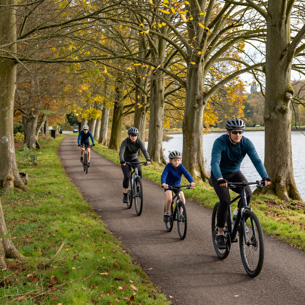
Greenways and riverside routes provide the most approachable scenic cycling around Manchester, especially for families and leisure riders. They usually have gentle gradients, but shared paths, gates and road crossings mean that steady riding is more useful than speed.
4. Mersey Valley and Sale Water Park
Approximate length: 10–25 miles return. Difficulty: easy. Ride through the Mersey Valley from Sale Water Park towards Stretford, Didsbury, Chorlton and Stockport, linking riverside paths, parks and quiet connecting roads.
Sale Water Park is a practical starting point, with open water, woodland edges and access to the wider Mersey Valley. The route is easy to shorten or extend, making it one of the best options for families, mixed-ability groups and riders testing a new bike.
Surfaces include tarmac, compacted gravel and occasional rougher trail. A hybrid or mountain bike is ideal; a road bike is workable only if you remain on tarmac alternatives. Watch for pedestrians, dogs, flood-prone ground and road crossings near neighbourhood connections.
5. Fallowfield Loop
Approximate length: 8 miles one way. Difficulty: easy. The Fallowfield Loop is a former railway greenway linking Debdale Park, Gorton, Levenshulme, Fallowfield and Chorlton, with a largely traffic-free surface.
It is less rural than the Mersey Valley but highly useful for urban cycling. Tree cover, playing fields and community spaces create a surprisingly green corridor across south Manchester. The route is mostly level and suitable for families, commuting practice and shorter recreational rides.
Use a hybrid, city bike or gravel bike. Because the loop crosses residential roads and passes through busy access points, expect interruptions rather than a continuous high-speed trail. Combine it with the Mersey Valley for a longer circular ride, checking the map carefully at linking streets.
6. Etherow Country Park and the Middlewood Way
Approximate length: 15–25 miles return, depending on extensions. Difficulty: easy to moderate. Start around Etherow Country Park near Compstall, then connect with the Middlewood Way towards Marple and Rose Hill.
Etherow offers woodland, wetland, lakeside views and a quieter atmosphere than central Manchester. The Middlewood Way follows a former railway line, giving it a broad, gently graded character. It is a strong choice for a peaceful ride with children or less experienced cyclists.
Most riders will prefer a hybrid, gravel bike or mountain bike because compacted surfaces can become soft in wet weather. Some road crossings and access gates interrupt the trail. Begin at the park or Marple to avoid a longer road approach, and check parking and local access arrangements before travelling.
7–8: Longer Routes Around Greater Manchester
Longer rides around Greater Manchester reward riders who plan transport, food and navigation in advance. The scenery becomes more open, but point-to-point routes may require a train return or careful linking of roads and trails.
7. Trans Pennine Trail: Manchester to Stockport and Beyond
Approximate length: 25–45 miles return for a practical western section. Difficulty: moderate. The Trans Pennine Trail links urban Manchester with Stockport, the Mersey Valley and wider routes towards the Pennines.
Scenery changes frequently: canals, railway corridors, river paths, woodland and open farmland appear within one ride. Surface quality is mixed, with tarmac, compacted gravel and rougher trail sections. A hybrid, gravel bike or mountain bike is more suitable than a pure road bike.
Choose a manageable section rather than treating the entire network as one ride. Starting near Manchester or Stockport gives flexibility, while a point-to-point plan can use rail connections for the return. Check current diversions and trail conditions because long-distance paths can change at short notice.
8. The Worsley Loop and Bridgewater Country Ride
Approximate length: 25–35 miles circular. Difficulty: moderate. Link Worsley, the Bridgewater Canal, Chat Moss edges and quieter roads around Salford and western Greater Manchester.
Worsley provides some of the area’s most distinctive canal scenery, including wooded banks, historic waterways and the iconic red sandstone of Worsley village. Beyond the canal, the ride becomes more rural, with exposed lanes and occasional traffic.
This route suits a hybrid, gravel or touring bike. It is more demanding to navigate than a simple towpath because the loop uses road connections and crossings. Plan a GPX route, carry lights and expect wind on open sections, particularly around Chat Moss.
9–10: Challenging and Countryside Routes Near Manchester
The most demanding scenic cycling routes near Manchester head towards the hills and Peak District, where gradients, weather and road exposure matter more than traffic-free access. They are best for fit riders with dependable bikes and a realistic turnaround plan.
9. Marple, Mellor and the Goyt Valley
Approximate length: 25–40 miles circular. Difficulty: challenging. From Marple, ride through Mellor and the Goyt Valley using quiet lanes, reservoir roads and rolling climbs on the western edge of the Peak District.
The reward is a rapid change from suburban streets to moorland views, wooded valleys and elevated panoramas. This is primarily a road ride, although bridleways and trails can be added by mountain bikers with appropriate route knowledge.
Expect sustained climbs, fast descents and exposed weather. A road bike works well on the tarmac version, while a gravel bike adds flexibility on rougher links. Start at Marple or nearby rail-accessible points, and carry food, water, a repair kit and extra layers.
10. Peak District Edge: Glossop and Longdendale
Approximate length: 30–50 miles return. Difficulty: challenging. Ride east towards Glossop and Longdendale for reservoirs, steep-sided valleys and broad Peak District views just beyond Greater Manchester.
This is the route for riders seeking the biggest landscape and most serious effort. Depending on the line chosen, you may face long climbs, narrow lanes, strong winds and rough surfaces near trail or reservoir sections. Use a road bike for an all-tarmac route or a gravel bike for mixed terrain.
Public transport can simplify the plan: consider riding one way and returning by train where bikes are permitted, checking operator rules first. Download maps before leaving, monitor the forecast and avoid committing to exposed high ground when visibility is poor.
Practical Tips for Cycling Around Manchester
Plan a Manchester cycling route around current access, weather, surface conditions and your return options. A route that is comfortable in dry daylight may become slow and slippery after heavy rain or difficult to navigate after dusk.
- Check conditions: look for canal closures, path works, flood warnings and local restrictions before departure.
- Choose the right bike: hybrids cover most urban paths; gravel bikes suit mixed surfaces; road bikes are best reserved for tarmac-focused countryside loops.
- Navigate actively: save an offline map or GPX file, especially for the Mersey Valley, Trans Pennine Trail and Peak District connections.
- Ride considerately: slow near pedestrians, announce passes clearly and give way at narrow towpath sections.
- Prepare for crossings: dismount where visibility is poor and treat every road crossing as a traffic junction, even on a greenway.
- Carry essentials: spare inner tube or tubeless repair kit, pump, lights, charged phone, water and a weatherproof layer.
- Plan the finish: identify cafés, refill points, toilets and train stations before setting off rather than relying on chance.
A common mistake is choosing a route by its headline distance alone. Towpaths with pedestrians and rough surfaces can take longer than expected, while a hilly road route may require more energy in half the mileage.
Frequently Asked Questions
What is the best scenic cycling route near Manchester for beginners?
The Fallowfield Loop and the Mersey Valley around Sale Water Park are strong beginner choices because they are relatively flat, easy to shorten and close to urban transport links.
Are Manchester’s canal towpaths suitable for road bikes?
Some smooth sections are manageable, but road bikes are a poor general choice for Manchester towpaths. Loose gravel, potholes, gates and wet surfaces make a hybrid, gravel bike or mountain bike safer and more comfortable.
Which routes are suitable for families?
Try Sale Water Park, the Fallowfield Loop, Etherow Country Park and selected sections of the Bridgewater Canal. Keep the distance flexible and check road crossings before bringing young riders.
Where can cyclists find longer or hillier rides near Manchester?
The Trans Pennine Trail provides longer mixed-surface options, while Marple, Mellor, Glossop, Longdendale and the Peak District edge offer substantial climbs and countryside scenery.
What should cyclists check before setting out?
Check the forecast, route access, surface conditions, daylight, bike condition, navigation file and return transport. Tell someone your planned route if you are riding alone, particularly in exposed countryside.